Using magnetometer remote sensing to identify archaeological artefacts

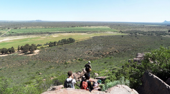
Today, we would like to introduce you to Paul Cavalier, who is currently working on an interesting postdoctoral research project using magnetometer remote sensing.
Tell us a bit about yourself

Upon completion of my PhD, I was keen to discover new horizons, which is how I ended up here in South Africa after about a year of travelling. In 2013, I worked as a postdoctoral researcher at the University of KwaZulu-Natal, where I started studying exploration and prospection techniques applied to archaeology. In February 2014, I joined the University of Cape Town as a postdoctoral researcher to pursue these topics in the Department of Engineering – specifically the Radar Remote Sensing Group, and in the Department of Archaeology.
What is your current project about?
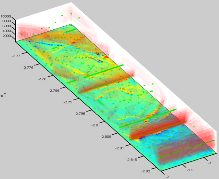
I use magnetometer remote sensing. I measure the Earth’s magnetic field with a particular attention to anomalies created by archaeological artefacts (burnt artefacts, metallic objects, construction foundations…).
The techniques of data analysis I use are borrowed mostly from geophysical exploration (petrol, mining…). The general aim is to be able to determine the sources (dimensions, depth) that create the measured anomalies, in order to have an underground model before digging. I focus particularly on finding a way to extract the most information possible from measured data, with direct estimations of the underground structure without prior knowledge or information about this.
Who are your supervisors and co-workers?
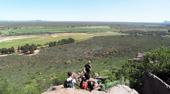
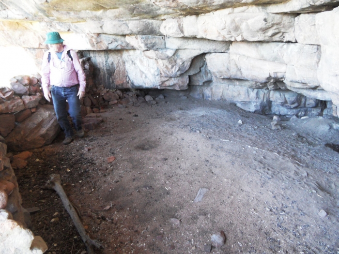
Prof John Parkington (Emeritus professor in the Department of Archaeology), who allows me access to sites of archaeological interest (such as Faraoskop, a cave 300 km north of Cape Town, near the town of Clanwilliam, where an unusual pattern of skeletons has been excavated);
Prof Mike Inggs (of the Radar Remote Sensing Group in the Department of Electrical Engineering), who has expertise in engineering and remote sensing topics;
Prof Alireza Baghai-Wadji (Professor of the Electrical and Computer Engineering Program at UCT) on theoretical aspects of mathematical analysis.
Why did you choose this topic?
I chose this particular topic because I wanted a change from my previous work in nanoelectronics. I have always been interested in archaeology (it’s more “human”!), so this applied physics project gives me an opportunity to gain insight and experience in that field.
Can you share any interesting results with us?
So far the data analysis schemes have allowed fast imaging and estimation of underground structures with mathematical techniques not used in commercial geophysical software. The technique is being perfected for better rendering and interpretation, and will be tested on archaeological sites. On the practical side, we are also pursuing the engineering of light prospection kits.
Thank you for the interesting interview, Paul. We wish you all the best with your research.
